The Glooscap Trail along the Bay of Fundy
On our journey through Nova Scotia we are faced with a choice: do we take the highway from Windsor to Pictou to quickly reach our destination, or do we opt for the leisurely drive along the north coast of Nova Scotia along the Glooscap Trail, always with a view the Bay of Fundy? The decision is easy for us, because there is nothing more beautiful than coastal landscapes, especially when they have the highest tidal range in the world.
Traveling on the Glooscap Trail from Windsor to Truro, Nova Scotia
And so we turn shortly after Windsor on country roads, which bring us through rural areas past farms that are surrounded by juicy cattle pastures. Shortly after Belmont we cross one of the side arms of the Bay of Fundy and see what this bay in Atlantic Canada is so famous for: its enormous tidal difference. Depending on the water level, the difference between high tide and low tide in the Bay of Fundy lies between 15 and 21 meters, and so the water of the bay runs in and out twice a day. We can already see on a tributary of the bay that there is currently low tide and the river water, which reaches the bay at high tide via this tributary, is now only available in puddles.
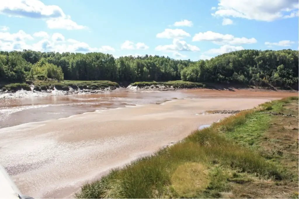
Near Burlington across the Cogmagun River
From the bridge over the Cogmagun River at Burlington we can see how half the riverbed is already without water. The shore is lined with saltgrass, which also indicates that sea water flows up the river again and again.
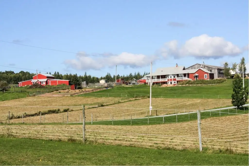
Again and again we pass well maintained and impressive farms on our journey along the coast. Cattle and horse breeding plays a role in this region, and the meadows are mown again at the end of the summer to provide enough hay supplies for the winter.
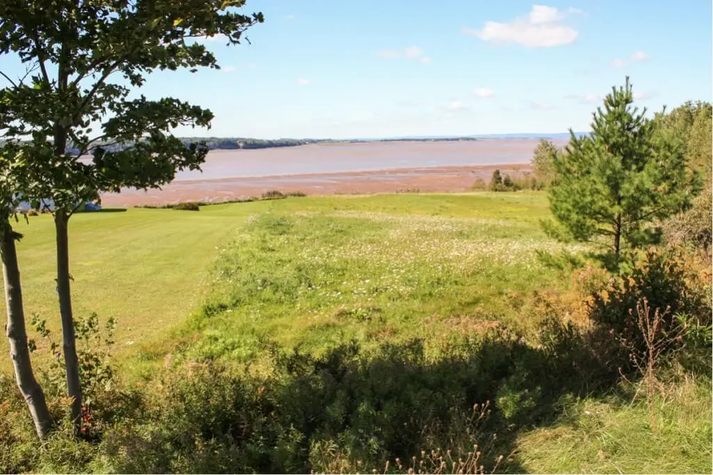
At Kempt Shore on the Bay of Fundy
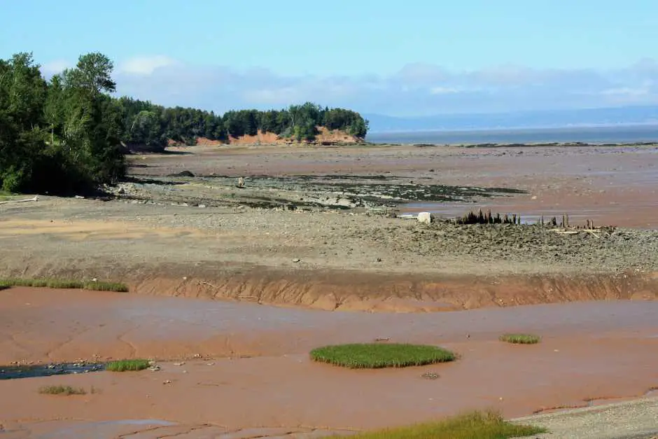
When we first look at the Bay of Fundy at Kempt Shore, we see that the bay's water is just retreating. The bay is still half full, but the farther we follow it to the east, the more we see of the red seabed.
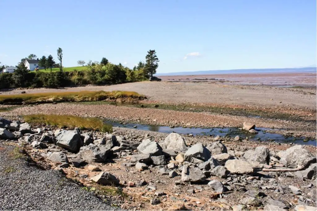
Again and again, views open onto the bay, where we can watch as the water disappears further towards the horizon. An interesting whim of nature that unfolds on this route along Nova Scotia's north coast.
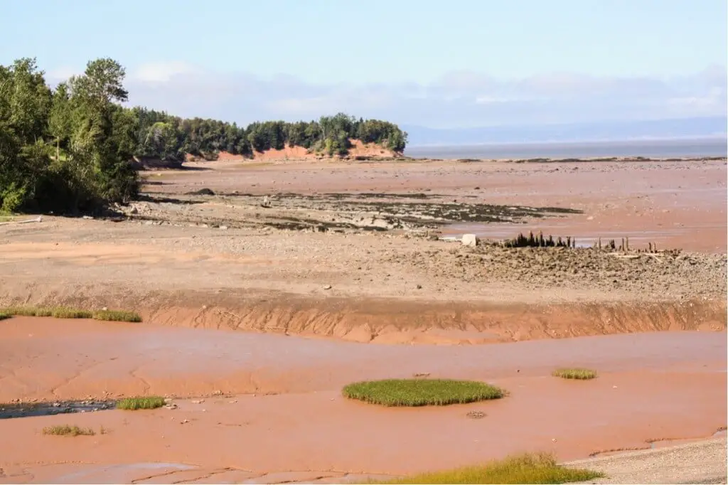
And the more we see from the bottom of the sea, the more intense you can see the red color of the mudflats. We have a magnificent panorama, as you can see it only in a few places on earth.
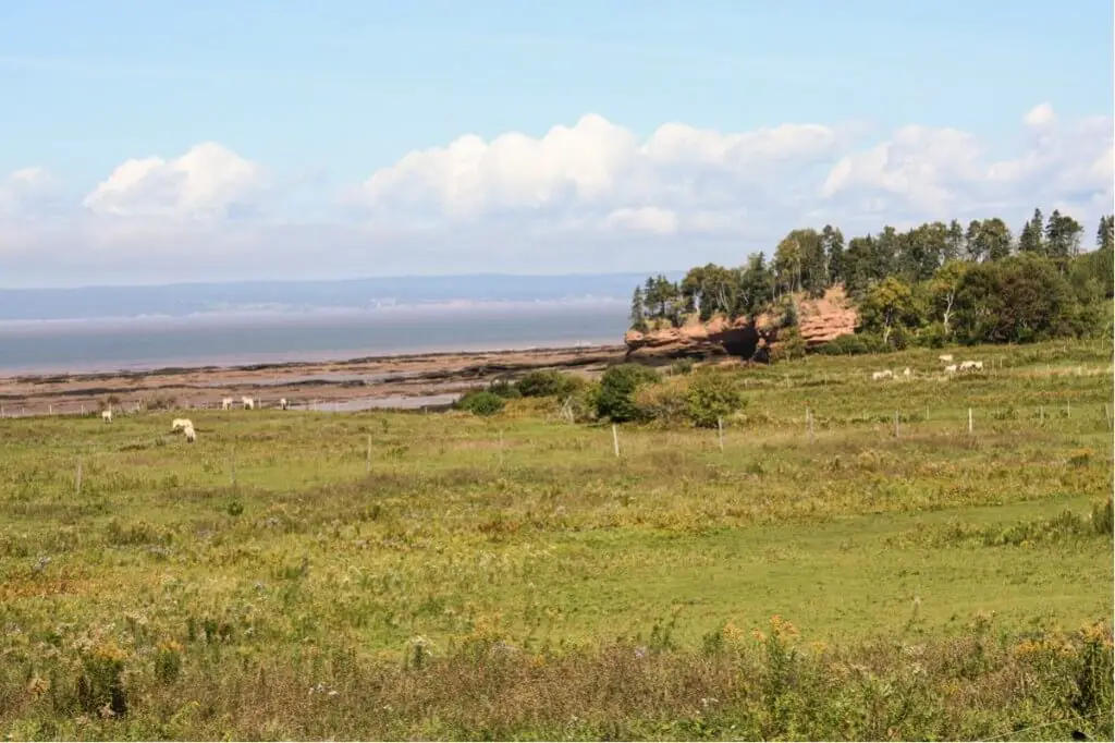
The east end of the Bay of Fundy
As we approach the east end of the Bay of Fundy, the Glooscap Trail no longer follows the coast. From here the path leads across agricultural land and pastures where horses and cattle graze. In between we keep seeing new and spectacular rock formations exposed by the low tide. What will they look like when the water comes back at high tide in a few hours?
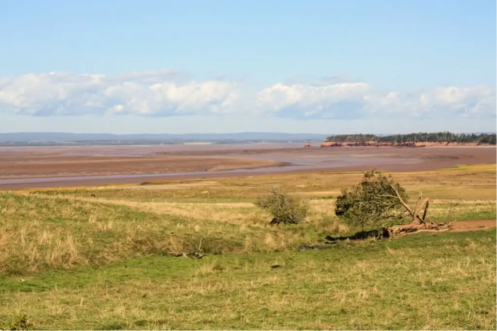
With a final look at the Bay of Fundy, which now contains almost no water after several hours of driving, we turn inland towards Truro, where we leave the Glooscap Trail. We're taking our time, because... Shubenacadie River near Maitland Let's watch later how the tidal wave comes back again.
The Glooscap Trail in Nova Scotia
The name of this Canadian holiday route goes back to a mythical figure from the legends of the Mi'kmaq and Passamaquoddy Indians, who belonged to the Wabanaki Confederation. Glooscap is a creator in the Indian imagination, and in the myths of the Mi'kmap he has created various landscapes in Nova Scotia, such as the Annapolis Valley. He is described as a giant who slept in Atlantic Canada. Nova Scotia was his bed and Prince Edward Island his pillow.
Our route on the Glooscap Trail was from Windsor to Truro on the south bank of the Minas Basin. I.e. we were only traveling on part of this holiday route. If you want to ride the entire trail, you can also take a look at the northern part of this route. You follow the north bank of the Minas Basin.
Travel Arrangements:
Parking at the airport
Here you can reserve your parking space at the airport.
Getting to the Glooscap Trail along the Bay of Fundy:
Compare and book flights here* (Advertisement). Air Canada, Condor and Icelandair fly from Germany to various airports in eastern Canada. From there you can then continue your journey by rental car.
Rental car for the Glooscap Trail along the Bay of Fundy:
Cheap car hire - book quickly and easily!
Hotels:
Hotels along the Bay of Fundy * you can, for example, book through our partner booking.com.
If you book through one of these offers, we receive a commission, which we use to run this blog.
Do you know this?
- New Brunswick Canada on the Atlantic
- Hiking at the Fundy Trail Parkway
- Grand Manan Island New Brunswick
- Cabot Trail
- The Cabot Trail Nova Scotia
- Ottawa Winterlude
- Ottawa Winterlude hotels
Source Glooscap Trail along the Bay of Fundy: own research on site, with kind support from Tourism Nova Scotia. We would definitely like to thank you very much for that. However, our opinions remain our own.
Text Glooscap Trail along the Bay of Fundy: © Monika Fuchs and TravelWorldOnline
Photos: Copyright Monika Fuchs and TravelWorldOnline
Who has ever been on the Glooscap Trail along the Bay of Fundy? What were your experiences there?
