Glockner High Alpine Road - The most beautiful pass road in Austria
The Glockner High Alpine Road is Austria Panorama road. When the sun is shining outside, the sky awakens in us a longing for the mountains. Whenever possible, we get in the car and drive out in search of regions that are worth exploring. This was also the case with our Road trip on the Grossglockner High Alpine Road. Here we present the Grossglockner High Alpine Road route.
Are you interested in the area around the Hohe Tauern National Park, then Tina and Manfred have tips for you.
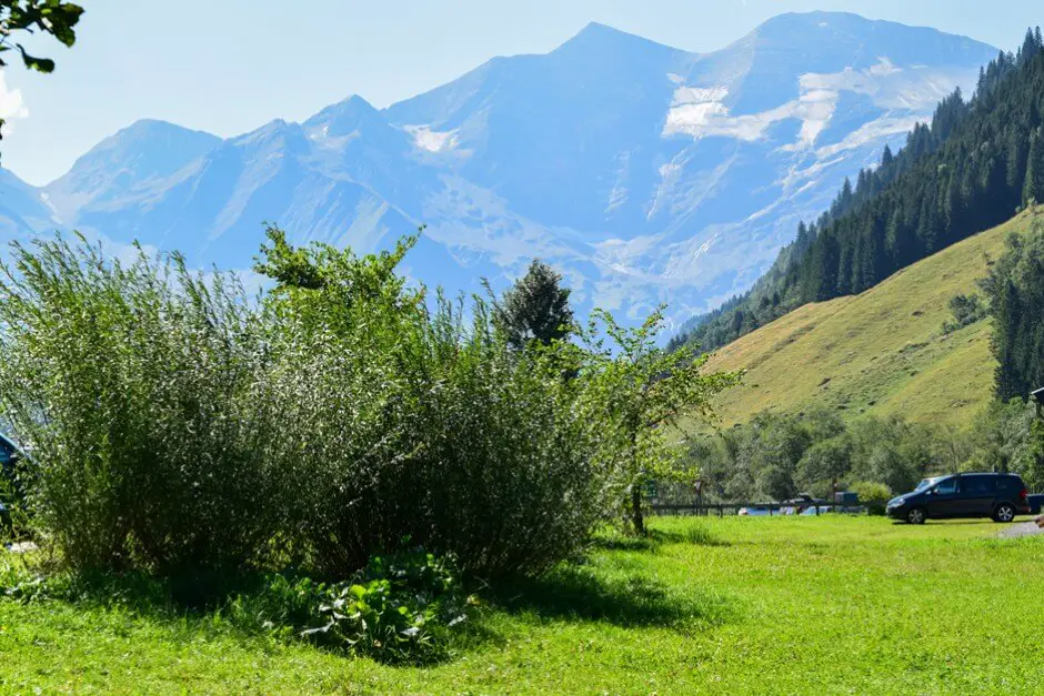
Getting to the Grossglockner High Alpine Road
When the sun is shining we leave Munich. The journey takes a good three hours. Our navigation device wants to lure us through the mountains via side roads. But we resist the hints and stay on the autobahn until we finally reach the junction at Bischofshofen in the direction of St. Johann im Pongau. We want to go quickly fusch, the starting point of the Glockner High Alpine Road.
Grossglockner High Alpine Road route
Via the Glockner High Alpine Road to the Fuschertörl
So we have time for the 48 km long Alpine Panorama Road. With 37 hairpin bends, this panoramic road leads through the mountain world of the Fuscher and the Möll valley from Salzburger Land Carinthia. Experiencing the Hohe Tauern National Park by car takes time. Views of alpine peaks and the Fuscher valley await us. We also see the Fuscher Törl, the ski areas beyond, the Fuscher Lacke and the Großglockner and the Pasterze.
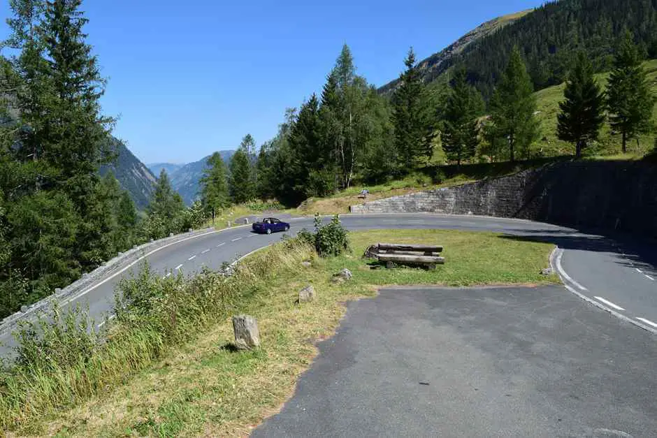
Grossglockner High Alpine Road Austria route map
Although we already know the route, it fascinates us. We take a day for the route. There is a lot to discover. Still, we didn't see all the attractions.
Only available where you pay the Großglockner toll:
- Grossglockner High Alpine Road Motorcycle Tour Ticket or round trip ticket
- Day ticket with possibility to extend by one day
- 30-day card
- season pass
- Presale tickets are available at the ADAC, ÖAMTC and ARBÖ
- You can find prices and information here
Thanks to our stay at the Hotel Kärntnerhof in Heiligenblut, we can pass through the payment station without paying the entrance fee. More information is available in our article about the Hotel Kärntnerhof.
Magnificent views on the Glockner High Alpine Road
The views along the serpentine route are always more spectacular. We stop at almost every bend and take pictures of the views. On the way we also admire the cyclists who struggle up the mountain. This time we are on the road during the week. Therefore, the cyclists can be counted on one hand. During our weekend visit a few years ago, a caravan of cyclists was heading up the mountain. Crossing the Glockner High Alpine Road is one of the most famous routes for sports cyclists.
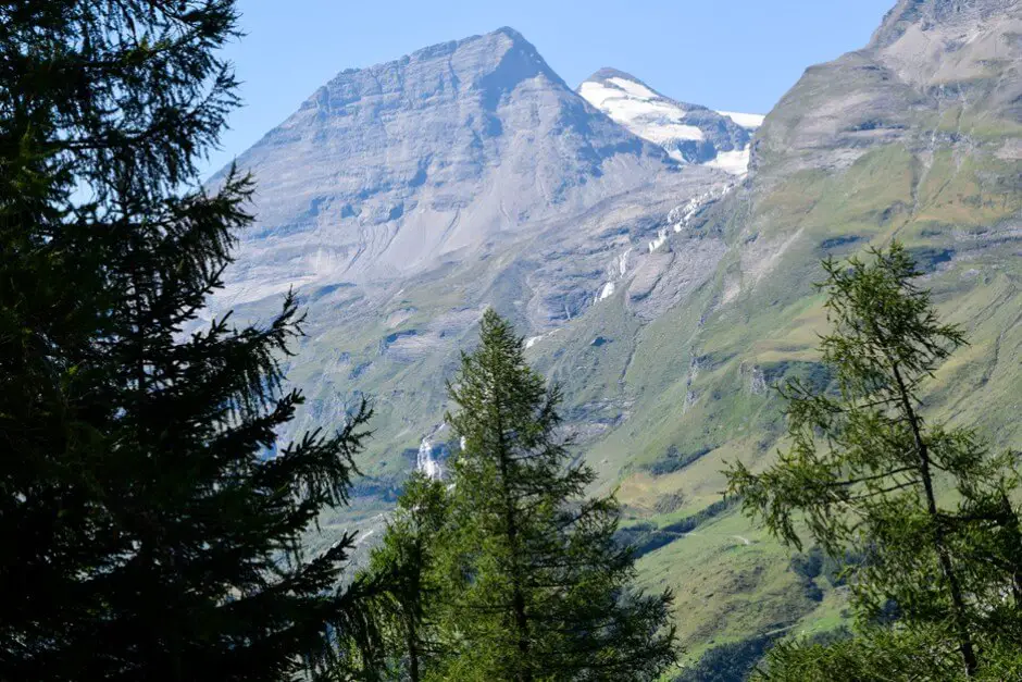
Glacier on our Grossglockner Tour
Because we drive through the Hohe Tauern National Park on one of the late summer days of the year, the glaciers we see from the road are clearly visible. We can see crevasses well from afar. The waterfalls that flow from them down into the valley are sometimes thin at this time of year. Unlike when the snow melted in spring. But the snow cover is missing, which prevents the view of cracks and cracks in the ice in spring.
Views on the Glockner High Alpine Road to the Piffkar
We also see how jagged the glacier masses really are. Along the Fuscher Valley on the drive up to the Piffkar, the glaciers lie high up on the mountains in hollows. The glaciers have dug these into the rock over thousands of years. The TGletscher that we see on our road trip through the Hohe Tauern National Park is the Pasterze, which flows from the Grossglockner down into the valley.
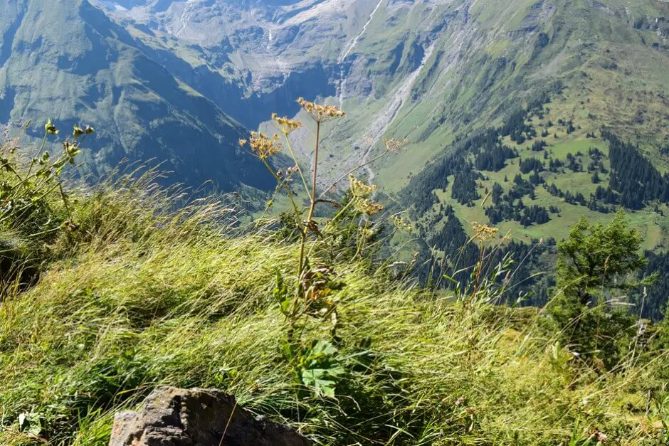
What else you can do in Salzburger Land
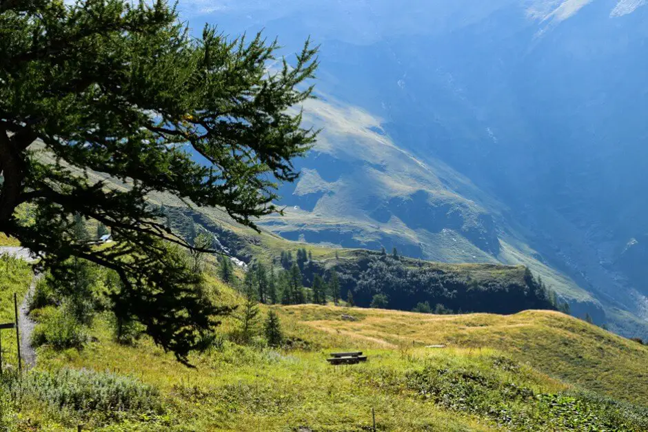
On the Grossglockner High Alpine Road route, exits invite you to stop
There are excursions along the way where information boards explain the glacier and mountain world. You will learn a lot about the geology, flora, fauna and glaciers. In the shelters that were built during the construction of the Glockner High Alpine Road in the 1930s, there are exhibitions that provide interesting information about this high mountain region.
Grossglockner High Alpine Road Card
During our visit to the Hohe Tauern we found out in one of these shelters that the road was built on the tracks of footpaths. The Romans, the Celts and the Maulers (porters). They used them to carry their goods on backpacks from Italy over the mountains to the markets north of the Alps. This time we learn more about the population of golden eagles in the high mountains. Because of the weather, however, we forego visiting the mountain huts and instead enjoy the views.
What you need for a tour on the Grossglockner Road
- Hiking trails start at the exits along the road. You definitely need good shoes.
- If you are planning hikes, we recommend one backpackin which you are yours snack in your lunch box and drinks for picnic pack on the go. Hiking accessories here.
- In the mountains, the weather often changes quickly. Therefore, one belongs windbreaker definitely in your gear for the day.
If you drive the Glockner High Alpine Road on a summer day, remember to wear sun protection. The sun shines intensely at these altitudes. If you go hiking or have a picnic in the sun, you can quickly get sunburnt:
- A Hat protects against the sun
- Sunglasses with UV protection help when the sun is too intense.
- You should also bring sunscreen with you. Especially in the mountains, winds are often deceptive and you only notice the sunburn in the evening.
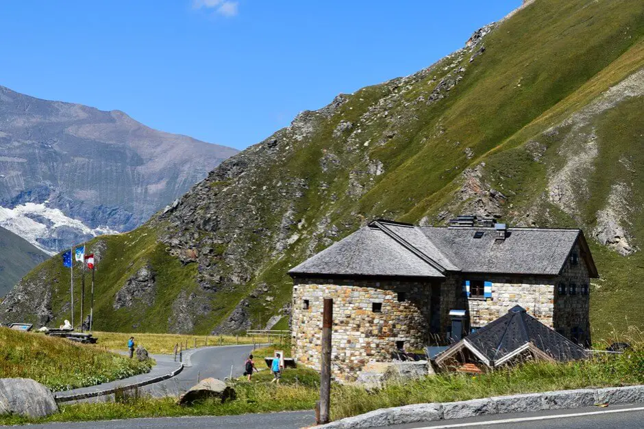
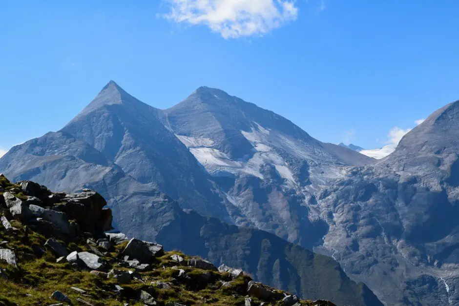
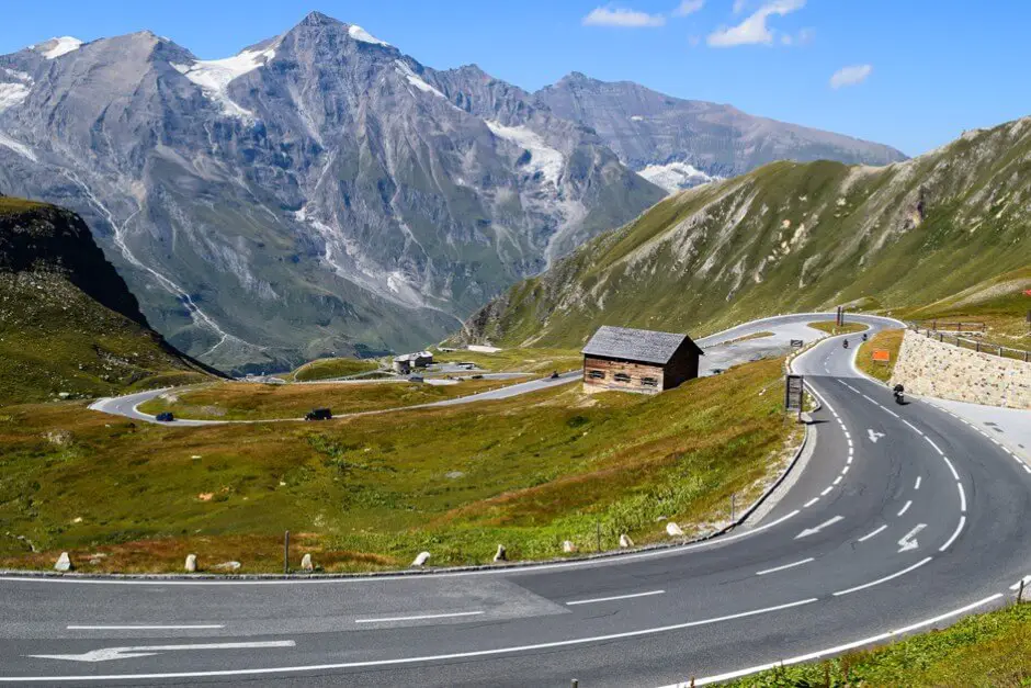
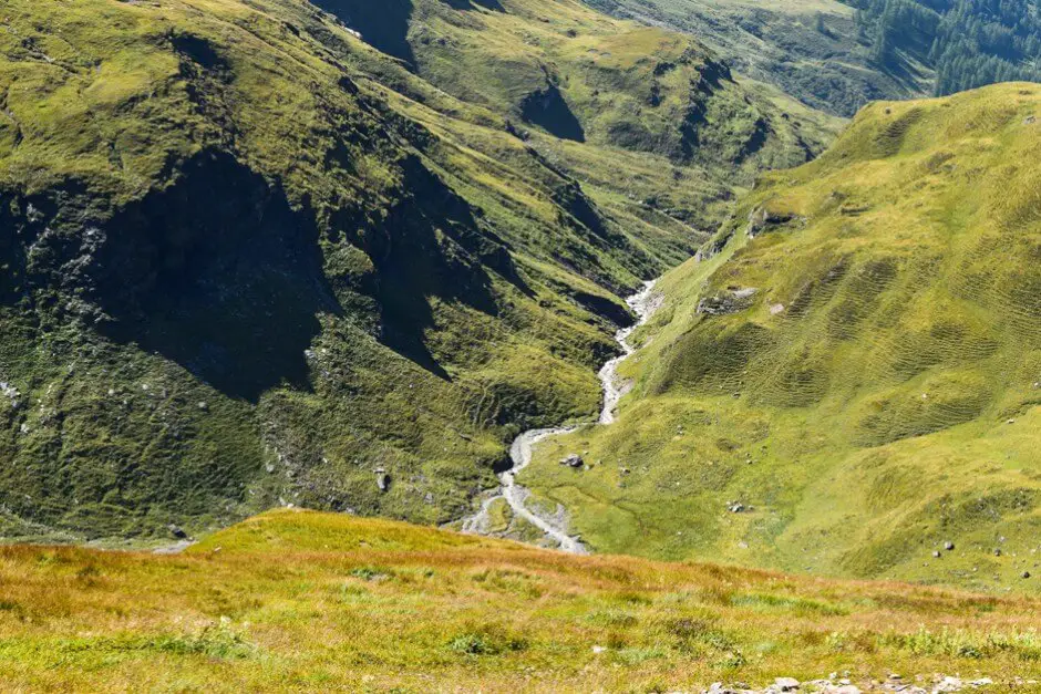
At the Fuschertörl on the Großglocknerstrasse
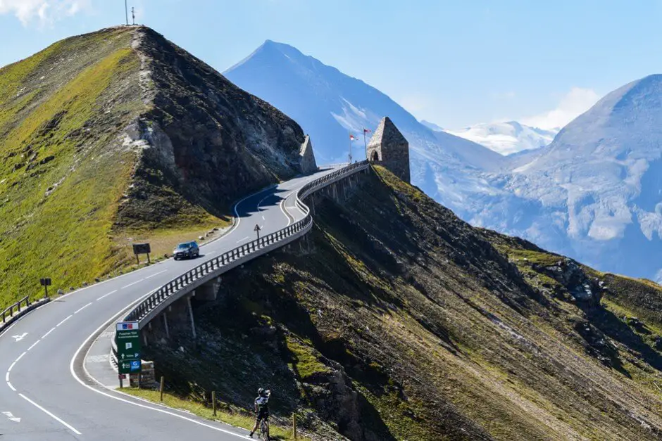
We have a view of the north side of the mountain range from the Fuschertörl (see first photo above). Below us, the road winds along the mountainside in tight curves. We hear languages from all over the world. But everyone expresses the admiration that this route commands from its visitors. We spend time at the Fuschertörl and at the memorial for the workers who died during road construction. There we enjoy the view. Because of the hustle and bustle of the bus tourists in the inn at the Fuschertörl, however, we decide to postpone our snack until the afternoon.
From the Fuschertörl we can also drive to the Edelweissspitze with a view of the Großglockner. The road to the Edelweissspitze contains a number of hairpin bends that are not easy for everyone to drive. The view of the Großglockner from the Edelweissspitze is worth every effort. The webcam from the Edelweissspitze shows whether the Großglockner is currently visible or is disappearing behind clouds. There you can see the current weather on the Großglockner well.
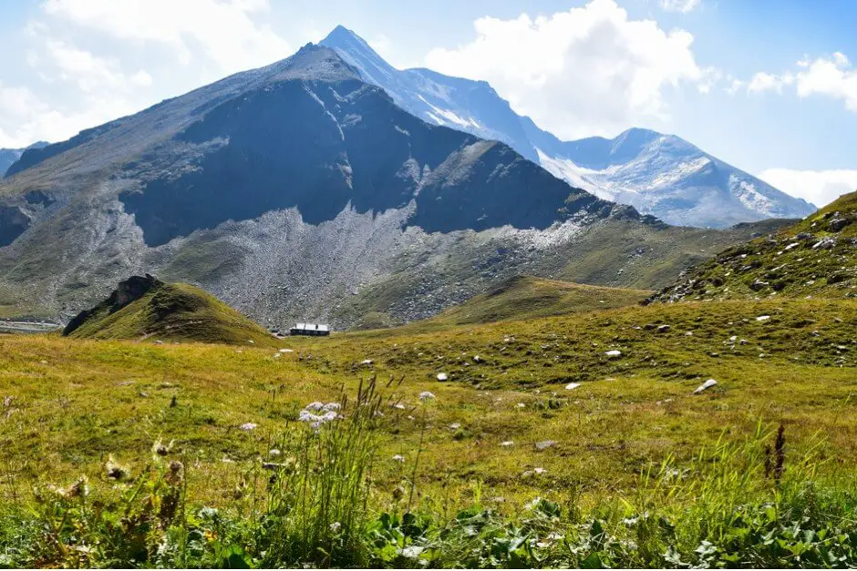
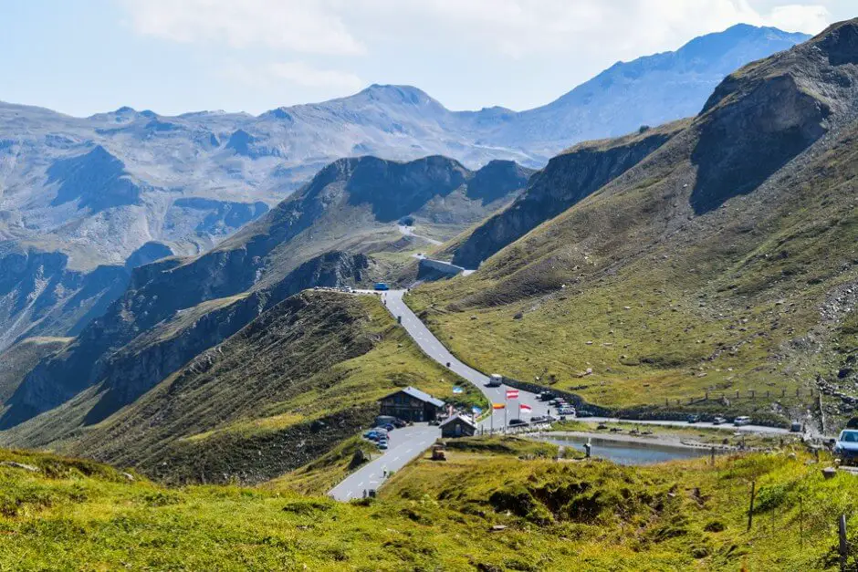
Break at the Mankeiwirt on the Glockner High Alpine Road
We finally enjoy this with a view at the Mankeiwirt on the Fuscher Lacke, a mountain lake. Chilling on the terrace of a mountain hut is something special! But you should protect yourself from the sun.
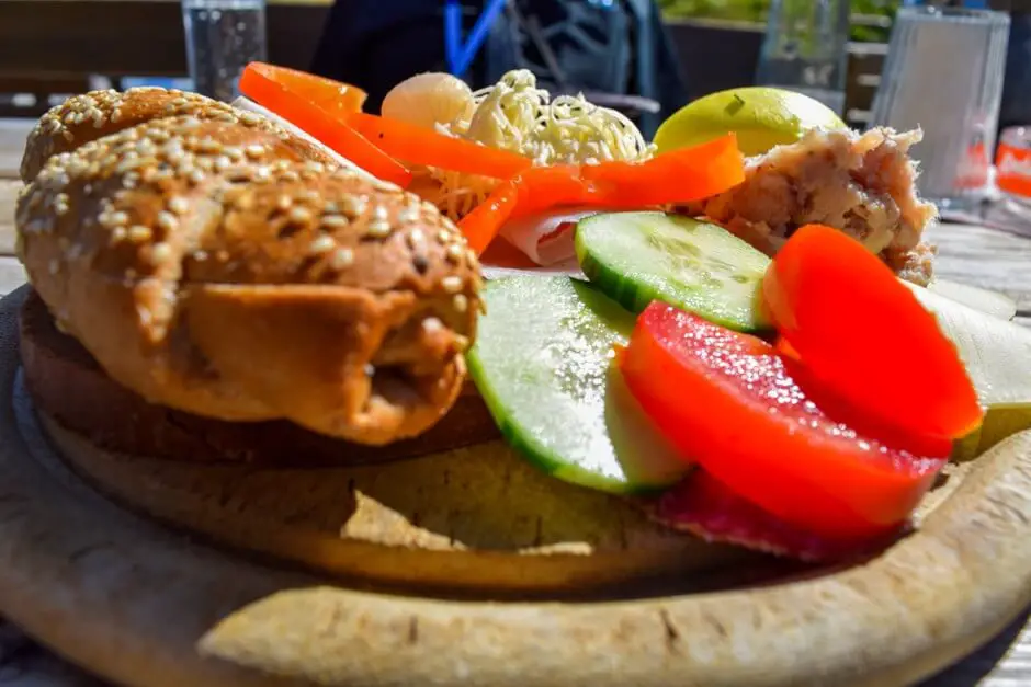
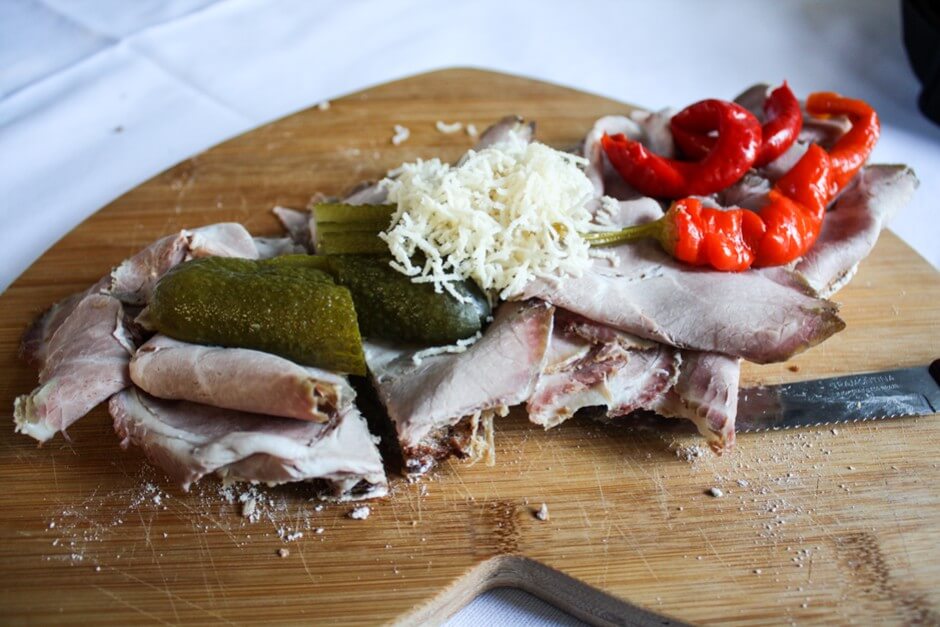
After a Jause with sausage and bacon, horseradish, tomatoes and cucumbers, we look at the exhibition about the construction of the road on the lake shore. The Glockner High Alpine Road was one of the measures to create jobs after the Great Depression at the beginning of the 20th century. Many of the workers came from the surrounding villages, from Slovenia and the north of Italy. They earned good money. The work was dangerous. From the statements of contemporary witnesses it is clear that the workers were proud to be involved in this construction.
The success ultimately proved them right. The builders had hoped to attract at least 40.000 drivers to the Hohe Tauern region in the first year, but they were surprised by the number of visitors, which had already quadrupled in the year after the opening. The flow of visitors has not diminished to this day. Instead, it has continued to rise.
What you should know for your tour on the Glockner High Alpine Road
-
- You can check the weather on the Großglockner High Alpine Road via the Webcam . see
- The weather on the Großglockner High Alpine Road can change quickly.
- Card
- Grossglockner High Alpine Road Map and adventure guide
- Here you can find information about opening the Grossglockner High Alpine Road and prices
- walking tours along the Grossglockner High Alpine Road
- Here you can find out more about the Mountain
The Glockner High Alpine Road to the Grossglockner
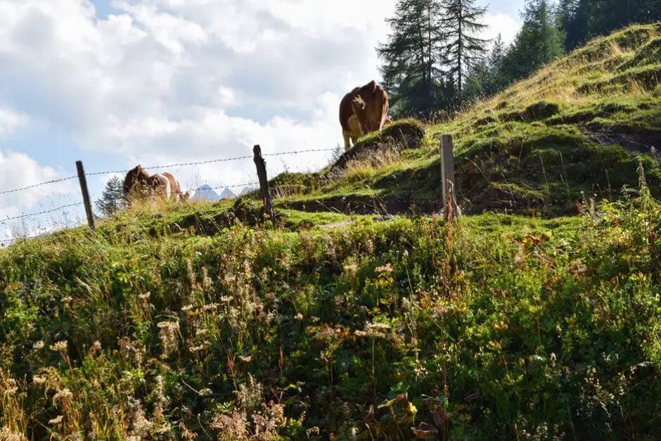
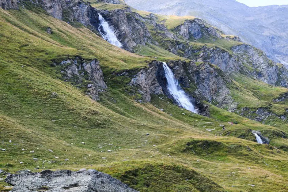
It is just four o'clock in the afternoon when we reach the roundabout where one road branches off to the Grossglockner and another to Heiligenblut. "There's enough time for us to make a detour to the Glockner," I say to Petar. So we drive up the road, even though clouds are gathering around the mountain peaks. At one of the bends we stop and admire a waterfall that falls down into the valley in two stages. Below there is a hiking trail, where a group of hikers is being chased away by a bull. The bull feels quite comfortable in the mountain air. Well fed, it stands on a hill.
Großglockner Franz Josefshöhe - highlight of the Glockner High Alpine Road
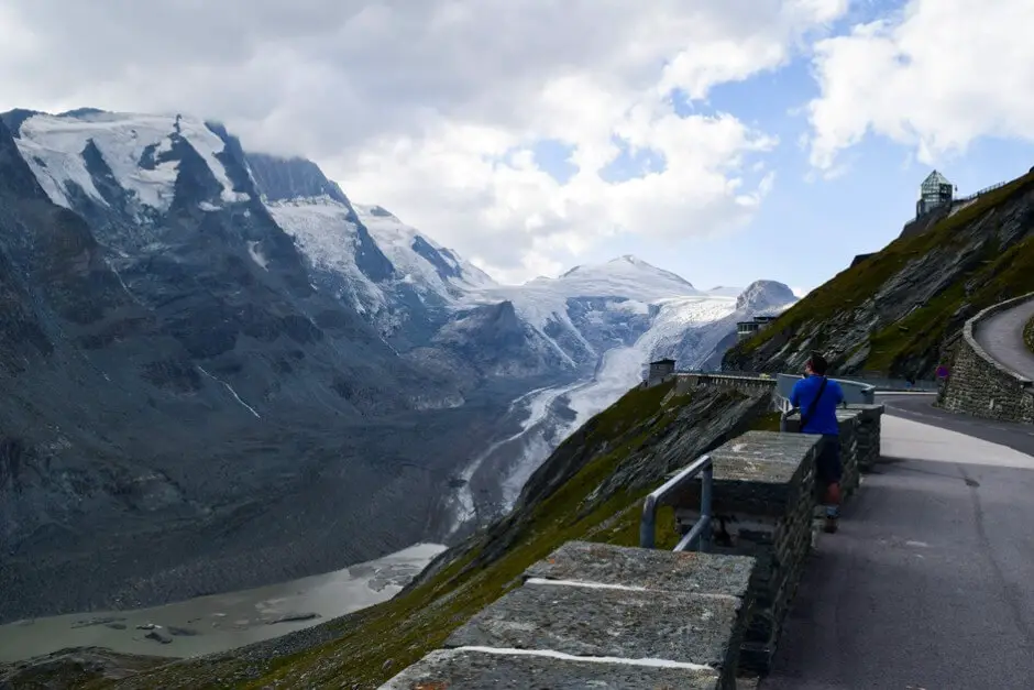
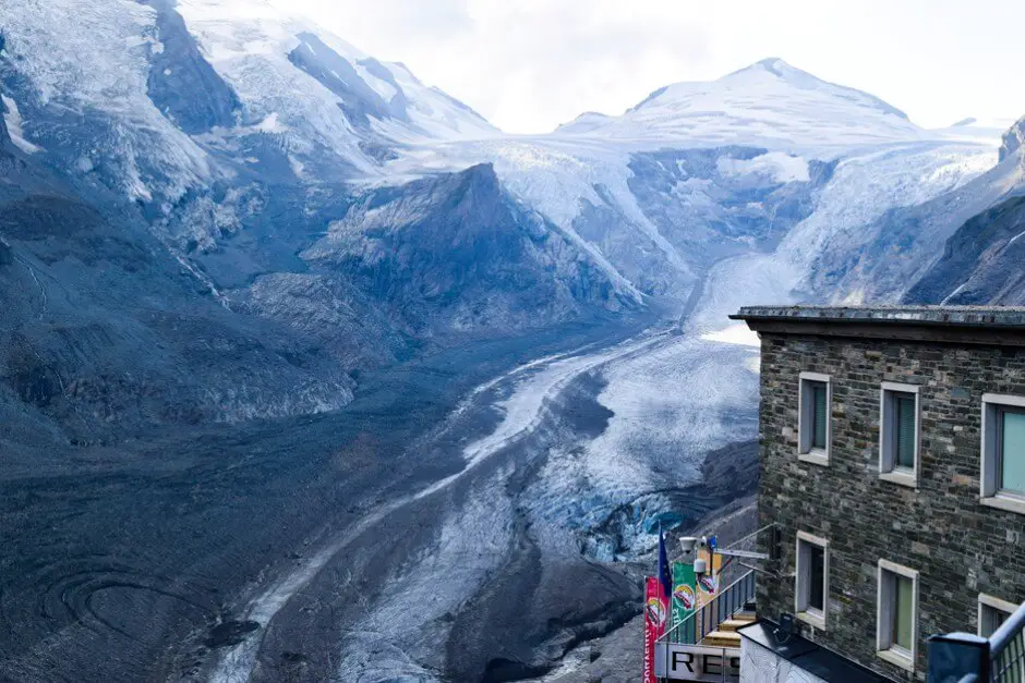
From the Kaiser Franz Josefshöhe we have a view of the Großglockner. We are lucky. Its summit is still almost cloud-free, although clouds are building up over it. We drive to the end of the Glockner Straße and have a view of the mountain and the glacier. Even though the sky isn't as blue as it was a few hours ago, the sun keeps fighting its way through. This ultimately ensures a play of colors on Austria's highest mountain peak.
How high is the Grossglockner?
At 3798 metres, the Glockner towers above all other mountain peaks. Streams flow down the mountain from its slopes and from the Pasterze glacier and finally collect in the lake below the mountain massif. The Alpe Adria hiking trail also starts up here. This leads from the Hohe Tauern to the Adriatic Sea.
Overnight on the Grossglocknerstrasse
- With View of the Grossglockner can you in Panoramarestaurant Kaiser Franz-Josef-Höhe * stay.
- Here you will also find accommodation for a Overnight stay in Heiligenblut * am South end of the scenic road
- A Hotel * am North end of the route can be found, for example, in Fusch.
- for Camping on the Grossglockner High Alpine Road However, there are no facilities along the Panorama Road. Instead, campsites are located in Heiligenblut or Fusch:
-
- National Park Camping Großglockner
Fam. Fleissner
Hadergasse 11
A-9844 Heiligenblut
Tel.: + 43 0 4824-2048 - Camping Lampenhäusl
Zellerfusch 15
A-5672 Fusch am Grossglockner
Tel .: + 43 (0) 6546 215 0
- National Park Camping Großglockner
Impressed by the nature that we experience on our road trip through the national park, we finally turn around and choose the turnoff to Heiligenblut at the roundabout. This brings us in hairpin bends down to the mountain village. A day in the mountains comes to an end.
Heiligenblut on the Glockner High Alpine Road
The town of Heiligenblut am Großglockner is not only a good starting point for trips on the Großglockner High Alpine Road in Austria. The area around Heiligenblut also offers destinations that are suitable for hikes and excursions. We present these on this side .
Questions and answers on the Grossglockner High Alpine Road
How much does the toll on the Grossglockner High Alpine Road cost?
The toll for the Grossglockner High Alpine Road is currently around 43 euros for a car and 33 euros for motorcycles. There are higher rates for camper vans and larger vehicles. Special tickets are often offered for early bookers or families, which can save you money. The fees go directly towards the maintenance of this route.
Is the Grossglockner High Alpine Road open in winter?
No, the Grossglockner High Alpine Road is closed in winter. Due to the extreme weather conditions and snow, the road is usually open from the beginning of May to the end of October. However, the exact opening times depend on the snow conditions and can vary from year to year. It is therefore worth checking the latest information online before your trip.
Which sights should I not miss on the Grossglockner High Alpine Road?
Numerous highlights await you along the Grossglockner High Alpine Road. The Kaiser Franz Josef Höhe with its view of the Grossglockner and the Pasterzen Glacier is a must. The Fuscher Törl and the Edelweissspitze also offer impressive panoramas. Not to forget the nature trails and the visitor center with lots of exciting information about the Alpine world.
Are there good places to stop for a break along the Grossglockner High Alpine Road?
Yes, there are several cozy alpine huts and restaurants along the road that offer regional delicacies. The Glocknerhaus Hut and the Kaiser Franz-Josefs-Höhe restaurant are particularly popular and offer not only delicious food but also fantastic views. It is definitely worth taking a break to enjoy the alpine cuisine.
Can I also travel the Grossglockner High Alpine Road by bike?
Yes, the road is also very popular with cyclists. However, it is a real challenge as there are many steep climbs along the route. If you are well trained, you will be rewarded with an unforgettable tour. There are even special events such as the Grossglockner mountain run, where the route is closed and cyclists have the road to themselves.
How long does it take for the Grossglockner High Alpine Road?
You should plan on about two to three hours for the journey by car along the Grossglockner High Alpine Road. This is enough time to enjoy the route at your leisure and make short stops along the way. However, the journey time depends on how often you stop at the viewpoints. If you want to hike, make detours or visit museums along the way, the time quickly increases. The views offered along the route are particularly worth seeing. Overall, the Grossglockner High Alpine Road is an experience that is best enjoyed at a relaxed pace.
Travel organization Glockner High Alpine Road
Parking at the airport
You can book your parking space at the airport here.
Arrival by plane and/or car to the Glockner High Alpine Road
Compare and book flights here*The airport is Salzburg. You can also book a rental car there. From there you can then travel by rental car or car. The journey time from Salzburg to Fusch an der Glockner Hochalpenstrasse is 1,5 hours. From Munich, for example, it takes 2,5 hours, from Vienna a good four hours and from Graz 3 hours 45 minutes.
Rental car for the Glockner High Alpine Road:
Accommodation in Heiligenblut on the Glockner High Alpine Road
Hotels and accommodation in Heiligenblut * you can book here, for example.
Slow Travel destinations and experiences in Carinthia:
- Such is a monastery holiday in the Lavant Valley
- The Weissensee in Carinthia - an insider tip
- The Lesach Valley in Carinthia
- Your Restaurant Weissensee Carinthia – Which cuisine do you prefer?
- The Gold of the Tauern in Heiligenblut
- Monastery Wernberg Carinthia
- Discover Holiday specialties in the Gailtal
- Chiemgau Alps Panorama Tour
- We ask travel bloggers: where do you ski?
Slow Travel Tips You can also find here. Discover additional Routes for connoisseurs in Austria.
Road trips can also be found in the blog parade “The most beautiful road tripsFrom Spaness.
Remember the Glockner High Alpine Road:
On the Glockner High Alpine Road
How big are the Alps?
The Alps cover an area of 298.128 km². They form a 1200 km arc from the Ligurian Sea to the Pannonian Basin. They vary in width between 150 and 240 kilometers.
How big is Austria?
Austria covers an area of 83.878 km².
More things to know
Source Grossglockner High Alpine Road Route: research on site. We would also like to thank Genuss Reisen Austria and the Kärntnerhof for the invitation. However, our opinion remains our own.
Text Großglockner High Alpine Road route: © Copyright Monika Fuchs and TWO
Photos: © Copyright Monika Fuchs and TWO
Video: © Copyright Petar Fuchs and TWO
updated on May 10.08.2024, XNUMX

What a nice tour and such great pictures, you get travel fever. Really ... that shows again "why travel abroad when the good is so close ..." ;-)
A really great contribution.
Best regards,
Tanya
Dear Tanja,
Thank you very much for your nice comment. We are very happy about that. :) We had on this day really dream weather for the ride on the high alpine road and have experienced it optimally. The Alps at their best!
Best regards,
Monika
Nice photos. The video is too hectic filmed, too short shots, too many zooms, too fast ZOOMS.
Thanks for the comment